

Welcome to Jurukon Malaysia
We look forward to serve you and meet your land survey needs.
Jurukon Malaysia is a land surveying consultancy firm specialising in cadastral / engineering / topographical and hydrographical surveys. In addition, the firm also provides planning and land developing services in its other portfolios.
The firm is based in the city of Kuching in the State of Sarawak, East Malaysia.
The firm is based in the city of Kuching in the State of Sarawak, East Malaysia.
Jurukon Malaysia is a land surveying consultancy firm specialising in cadastral / engineering / topographical and hydrographical surveys. In addition, the firm also provides planning and land developing services in its other portfolios.
The firm is based in the city of Kuching in the State of Sarawak, East Malaysia.
The firm is based in the city of Kuching in the State of Sarawak, East Malaysia.

About Us
Sr. Chong Nyuk Loi, Dennis PBS
- Academic Qualification: RICS, Chartered land Surveyor
- Working experience: 42 years (1975 – 2017)
- Professional Affiliation: Member of Royal Institution of Chartered Surveyors, UK Member of Royal Institution of Surveyors, Malaysia Member of Association of Consulting Land Surveyors, Sarawak Ex-Land Surveyors Board Sarawak committee member
Sr. Chua Kwang Chih, Colin
- Academic Qualification: BSc Surveying & Mapping (Aust.)
- Working experience: 29 years (1988 – 2017)
- Professional Affiliation: Member of the Royal Institution of Surveyors, Malaysia Member of Association of Consulting Land Surveyors, Sarawak
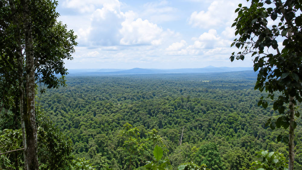
In addition to the partners, Jurukon Malaysia has a team of over 44 people comprising of professionals, semi-professionals, technical and administrative staff.
- Co. Registration No: 36830
- Date of Registration: December 22, 1994
- Type of Business: Land Surveying Consultant
Our Services
Jurukon Malaysia is a land surveying consultancy firm specializing in the following fields:
- Cadastral Surveys
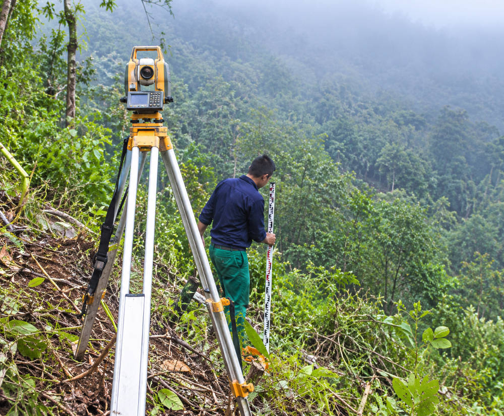
This category covers planning and subdivision surveys, strata titles applications and survey, perimeter and verification surveys, planimetric and higher order control surveys (using GPS) to name just a few. - Engineering / Topographical Surveys
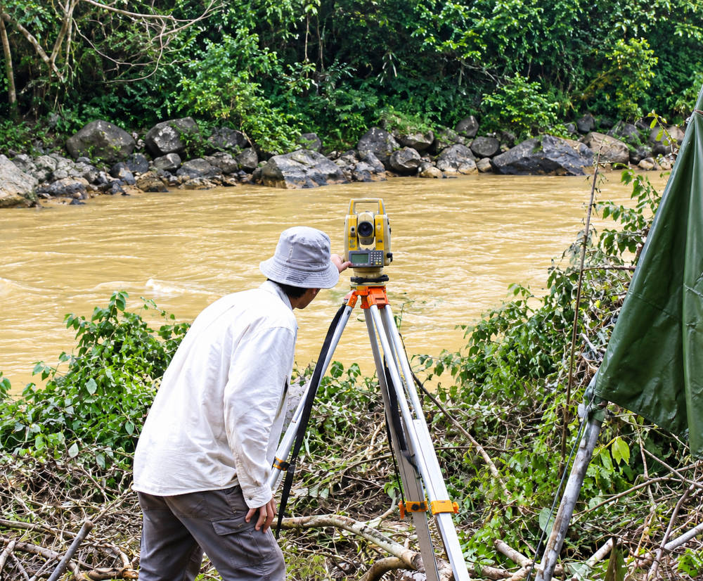
The consultancy for such works includes boundary locations, height controls, levelling, offset survey, alignment and profiling surveys, monumenting and flood level studies. - Hydrographical Survey
Most of the firm works involves inland waterways surveys, coastal seabed studies and occasionally deep seabed profiling. - Planning and Land Development Services
These categories of services includes feasibility studies, urban and rural planning (Subdivision and partition of family holdings). For preparation of planning brief our Associate Town Planner undertakes the responsibility. The partners who are registered with the State Planning Authorities also provide clients with land lease extension and conversion services.
Career
Surveyor
Assistant Surveyor
Draughtperson
Administrative Assistant Clerk
Surveyor
Surveyor
We Seek dynamic and experienced individuals to fill the position of:Position: Surveyor
Location: Sarawak
Closing Date: Open
Responsibility
- Able to work independently & supervising field survey
- Maintain employee discipline and harmony, handle employee relations issues, grievances and counselling one work-related problems.
- Degree in Land Surveying from any recognised university.
- Minimum 2 years working experience and above will be an added advantage.
- Fresh graduates are encouraged to apply.
- Able to speak and written English. Local languages are preferable as well.
- Resourceful,mature and prossess good leadership.
- Possess strong communication and interpersonal skills and demonstrate high level of integrity and initiative.
Interested candidates are required to write-in, enclosing full personal particulars, stating current & expected salary, contact telephone number, together with a passport-sized photograph to:-
Managing Partner
JURUKON MALAYSIA
Lot 8582, Block 16, K C L D
Rock Road
93200 Kuching
Email: info@jurukon.com
Only shortlisted candidates will be notified.
Assistant Surveyor
Assistant Surveyor
We Seek dynamic and experienced individuals to fill the position of:Position: Assistant Surveyor
Location: Sarawak
Closing Date: Open
Responsibility
- Able to work independently & supervising field survey
- Maintain employee discipline and harmony, handle employee relations issues, grievances and counselling one work-related problems.
- Certificate/Diploma in Land Surveying from any recognised college/university.
- Working experience will be an added advantage.
- Fresh graduates are encouraged to apply.
- Resourceful,mature and prossess good leadership.
Interested candidates are required to write-in, enclosing full personal particulars, stating current & expected salary, contact telephone number, together with a passport-sized photograph to:-
Managing Partner
JURUKON MALAYSIA
Lot 8582, Block 16, K C L D
Rock Road
93200 Kuching
Email: info@jurukon.com
Only shortlisted candidates will be notified.
Draughtperson
Draughtperson
We Seek dynamic and experienced individuals to fill the position of:Position: Draughtperson
Location: Kuching
Closing Date: Open
Responsibility
- To prepare layout and other related drawings for submission, detailed and working diagram
- SPM certificate preferably.
- Minimum 2 years working experience and above will be an added advantage.
- Required basic Autocad skills.
Interested candidates are required to write-in, enclosing full personal particulars, stating current & expected salary, contact telephone number, together with a passport-sized photograph to:-
Managing Partner
JURUKON MALAYSIA
Lot 8582, Block 16, K C L D
Rock Road
93200 Kuching
Email: info@jurukon.com
Only shortlisted candidates will be notified.
Administrative Assistant Clerk
Administrative Assistant Clerk
We Seek dynamic and experienced individuals to fill the position of:Position: Administrative Assistant Clerk
Location: Kuching
Closing Date: Open
Responsibility
- To prepare all documents for submission and pleasant personality for serving customers.
- Minimum SPM or equivalent.
- Ability to speak & write in Mandarin & English.
- Computer literate.
- Pleasant personality.
- Minimum 2 years working experience and above will be an added advantage.
Interested candidates are required to write-in, enclosing full personal particulars, stating current & expected salary, contact telephone number, together with a passport-sized photograph to:-
Managing Partner
JURUKON MALAYSIA
Lot 8582, Block 16, K C L D
Rock Road
93200 Kuching
Email: info@jurukon.com
Only shortlisted candidates will be notified.